Early Friday morning, we traveled south to MacDill Air Force Base, headquarters of CENTCOM, the United States Central Command, also known as the folks that oversee the entirety of the United States involvement in the Middle East, Northern Africa, and Central Asia. The base is home to 20,000 personnel, and to put it mildly, there is a lot going on.
While he does have an office on base, his home away from home is the NOAA Aircraft Operations Center, the hangar where all the planes are stored. On site were the hurricane hunters!
This is Gonzo, a G4. Smaller than the P3, it's more nimble and does more flying in the bumpy outskirts of a hurricane. (when Henson Productions found out the planes were being named after Muppets, they agreed to do the logos! ...so cool)
Miss Piggy, a P3. The larger of the two hurricane planes, there are three radar units; the strange black nose cone, the weird black m & m on the bottom of the plane, and the really weird-looking tail.
The planes themselves were full of the oranges and golds of the 70s, utility obviously being far more valued than looks. The cockpit had seats for a pilot, co-pilot, flight engineer (in the center) and two pilots riding jump seats behind. Everyone is taught in flight school the exact responses to given events, but even so, having extra eyes on hand while you're in a hurricane...well, it seems like a good idea.
The flight engineer is in charge of the mechanics of the plane, which is what they do when they're not flying. There are about 873 knobs, dials, and doohickeys that they monitor in flight. That's the seat I sat in during the tour, and all I can say is wow...I am glad I do not fly into hurricanes.
Besides the commissioned officers that do the flying, there's also a navigator, and self-proclaimed "I'm kind of the IT guy on board" (didn't catch his actual title) and several civilian meteorologists and weather folks on board.
On a hurricane day, any given flight lasts 9 hours. Based on how long it takes the plane to get from Tampa to the hurricane, and wherever they're landing, they have a certain amount of time that they maximize to get as much data as possible to relay back to meteorologists in the plane and on the ground.
They try to get as many passes from the edge to the eye as they can, making what would be a star pattern, but since they always direct back towards the eye of the storm and the storm is moving, it looks like much less of a defined star if you see the final flight path.

They also send out beacons from a tube in the plane that detect air speed, precipitation, all sorts of other data on the way down, and as long as they can before sinking into the ocean. This info is relayed back to meteorologists as well.
As we're not actually in hurricane season right now, all planes are being serviced. One is getting ready to have it's wings replaced, they've been through quite a few years of flying through bad weather and are near retirement.
The other planes NOAA uses (and the ones that her beau flies) are out on assignment doing all sorts of winter-appropriate projects.
For instance, they bring along scientists on flights to count polar bears, seals, and whales throughout US
territories. You may think this has nothing to do with defense and
commerce..but in fact, scientist use the numbers of these top echelon
predators to infer populations of other sea creatures that are harder to
track---a good example is tuna. All the rules and regulations about tuna
catch, numbers that can be caught, come directly from the scientists
that count dolphins in the ocean. The numbers are added into numerical
models, and the final product is a recommendation enforced by the US Department of Commerce--"You can take out X
number of tuna this year without further endangering the population."
They
were also the original mappers of the coast line. Following the
Revolutionary War, the British hardly wanted to hand over their own maps
to the uprising colonies, so the US had to figure out maps all by it's
lonesome, and this job went to NOAA.
Miss Piggy! And the hurricanes the plane has flown through are all listed on the bottom right.
Miss Piggy's tail radar. It was the first thing I saw when I came in, and all I could think about was...um, I know I haven't been in a hangar for a long time, but seriously? This looks ridiculous. And yes, I was right.
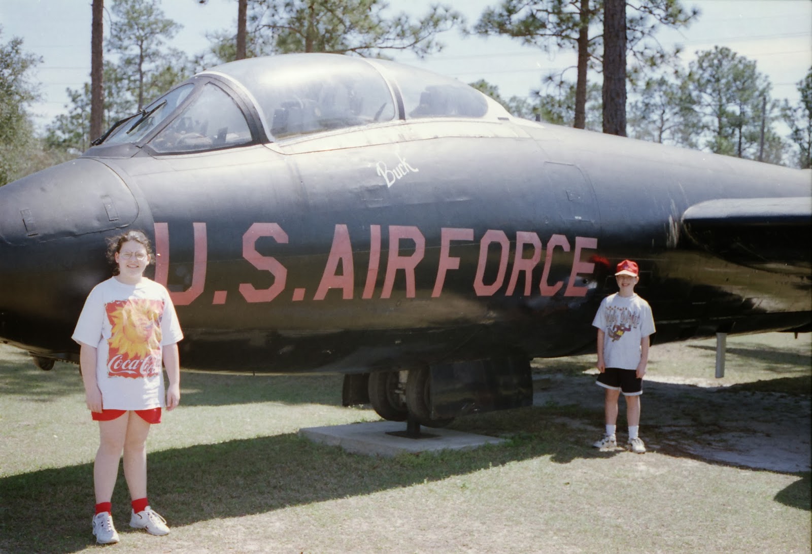
I also searched my archives from my life as the granddaughter of a pilot visiting hangar after hangar after hangar growing up, and while I'm sure there are more, here is awkward 11 year old Bridget for you: (look at those socks!)
From The National Naval Aviation Museum in Pensacola, Florida.


 "How big is the plane, Jacob?" "So big!"
I also searched my archives from my life as the granddaughter of a pilot visiting hangar after hangar after hangar growing up, and while I'm sure there are more, here is awkward 11 year old Bridget for you: (look at those socks!)
From The National Naval Aviation Museum in Pensacola, Florida.
1 comment:
Well if that wasn't awesome! Great post, Bridget.
Post a Comment